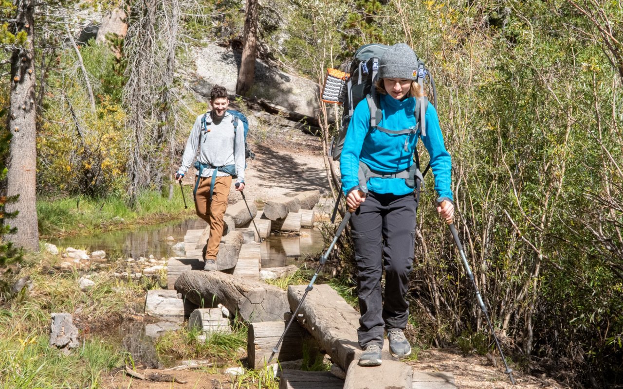
The best hiking in Pasadena, California, spans the San Gabriel Mountain foothills and the historic Arroyo Seco corridor across ZIP codes 91103 through 91107. From the 3.5-mile family trek to Eaton Canyon Falls to the historic 5.6-mile Echo Mountain ascent via Sam Merrill Trail, Pasadena offers year-round scenic trails for all experience levels.
Considering a home near the Pasadena foothills or the Arroyo Seco? Explore our Pasadena Community Guide, browse Pasadena homes for sale, or connect with our foothill real estate specialists.
Pasadena Hiking and Foothill Recreation Overview
Pasadena offers an uncommon balance between urban elegance and rugged wilderness access. Situated directly at the base of the San Gabriel Mountains and bisected by the historic Arroyo Seco riverbed, the city gives residents direct access to canyon paths, historic railway ruins, and alpine pine forests just minutes from central residential neighborhoods.
Whether seeking an easy shaded morning stroll beneath sycamore trees or a demanding 4,000-foot summit climb to Mount Wilson, Pasadena hiking trail network accommodates trail runners, equestrians, mountain bikers, and weekend families alike.
Pasadena Hiking Trails Comparison Matrix
Trail Name | Distance (Round-Trip) | Difficulty Level | Elevation Gain | Key Attraction |
|---|---|---|---|---|
Eaton Canyon Falls | 3.5 miles | Easy to Moderate | 375 feet | 40-foot cascading waterfall and shallow pool |
Sam Merrill to Echo Mountain | 5.6 miles | Moderate to Strenuous | 1,400 feet | Mount Lowe Railway and resort ruins |
Lower Arroyo Seco Trail | 2.3 miles | Easy | 100 feet | Colorado Street Bridge views and casting pond |
Millard Canyon Falls | 1.3 miles | Easy | 150 feet | Shaded canyon, stream crossings, 50-foot falls |
Mount Wilson Trail | 14.0 miles | Strenuous / Advanced | 4,700 feet | Mount Wilson Observatory and LA Basin panoramas |
Top Hiking Trails in Pasadena and the San Gabriel Foothills
1. Eaton Canyon Trail and Waterfall
Eaton Canyon stands as Pasadena most celebrated outdoor trail, beginning at the Eaton Canyon Nature Center in Northeast Pasadena. The first mile traverses a wide, gentle dirt fire road before entering a wooded rocky canyon where hikers crisscross shallow stream beds. The path terminates at a stunning 40-foot waterfall cascading into a natural pool, framed by granite canyon cliffs.
- Trailhead: 1750 N Altadena Drive, Pasadena, CA 91107
- Distance & Difficulty: 3.5 miles round-trip, Easy to Moderate
- Parking & Facilities: Free paved lot at Nature Center, restrooms and drinking fountains available
- Dogs: Allowed on leash
2. Sam Merrill Trail to Echo Mountain
Starting from the historic Cobb Estate at the northern terminus of Lake Avenue in adjacent Altadena, the Sam Merrill Trail is a quintessential San Gabriel foothill trek. The trail climbs steadily via well-graded switchbacks up the eastern ridge of Las Flores Canyon. At the 2.8-mile mark, hikers reach the summit of Echo Mountain, home to the stone ruins of the 1890s Mount Lowe Railway, the Echo Mountain House resort, and the historic brass Echo Phone.
- Trailhead: E Loma Alta Drive & Lake Avenue, Altadena, CA 91001
- Distance & Difficulty: 5.6 miles round-trip, Moderate to Strenuous
- Parking: Free street parking along Lake Avenue and Loma Alta Drive
- Sun Exposure: High exposure, morning departures strongly recommended
3. Lower Arroyo Seco Trail
For a gentle nature walk close to central Pasadena, the Lower Arroyo Seco Trail follows the natural stream channel below the iconic Colorado Street Bridge. Shaded by ancient coast live oaks, California sycamores, and eucalyptus trees, this flat multi-use path passes the historic Pasadena Casting Club pond, archery ranges, and tranquil stone retaining walls built during the Arts and Crafts era.
- Trailhead: 415 S Arroyo Boulevard, Pasadena, CA 91105
- Distance & Difficulty: 2.3 miles round-trip, Easy
- Accessibility: Flat graded dirt path suitable for strollers, runners, and leashed dogs
- Corridor: Direct pedestrian access to Old Pasadena and the San Rafael Hills
4. Millard Canyon Falls Trail
Tucked into the foothill canyons above West Altadena and Linda Vista, Millard Canyon offers one of the most accessible waterfall hikes in Los Angeles County. The trail winds along a riparian stream corridor under a dense canopy of alder and oak trees, crossing small rock beds before arriving at a scenic 50-foot waterfall.
- Trailhead: Millard Campground, Chaney Trail, Altadena, CA 91001
- Distance & Difficulty: 1.3 miles round-trip, Easy
- Parking: US Forest Service Adventure Pass or America the Beautiful Pass required
- Highlight: Shaded year-round microclimate, ideal for young families and photography
5. Mount Wilson Trail via Pinecrest Gate
Established in the late 19th century, the historic trail to Mount Wilson is Pasadena premier endurance hike. Ascending through Little Santa Anita Canyon toward the historic Mount Wilson Observatory at 5,710 feet elevation, the trail delivers sweeping views across the San Gabriel Valley, Downtown Los Angeles, and the Pacific Ocean on clear winter afternoons.
- Trailhead: Mira Monte Avenue / Pinecrest Gate, Sierra Madre border
- Distance & Difficulty: 14.0 miles round-trip, Strenuous / Advanced
- Elevation Gain: Approx. 4,700 feet
- Summit Features: Mount Wilson Observatory museum and Cosmic Cafe (seasonal)
6. El Prieto Canyon Trail
Celebrated by local mountain bikers, trail runners, and hikers, El Prieto Canyon connects the upper Arroyo Seco with the Gabrielino Trail. The route is renowned for lush native chaparral, mossy creek banks, and rolling single-track switchbacks that offer a shaded, backcountry escape just five minutes from the Jet Propulsion Laboratory.
- Trailhead: Gabrielino Trailhead, Windsor Avenue & Ventura Street, Altadena, CA 91001
- Distance & Difficulty: 4.5 miles round-trip, Moderate
- Multi-Use Note: Shared with mountain bikers; stay alert on narrow corners
7. Henninger Flats Trail
Climbing up the western flank of Eaton Canyon, the Henninger Flats trail follows a wide, well-maintained dirt fire road up into a high pine forest basin. The sustained uphill climb rewards hikers with expansive panoramic views of the Los Angeles skyline, leading to a shaded historic reforestation nursery and primitive camping area.
- Trailhead: 1750 N Altadena Drive, Pasadena, CA 91107
- Distance & Difficulty: 5.0 miles round-trip, Moderate to Strenuous
- Elevation Gain: Approx. 1,530 feet
- Terrain: Graded mountain fire road with continuous sun exposure
8. Walnut Canyon Trailhead
Walnut Canyon represents one of Pasadena quietest open-space preserves. Located within the Annandale Canyon Park area near the San Rafael Hills, this secluded trail meanders through native walnut woodlands and coastal sage scrub, offering moderate climbs and uncrowded overlooks toward downtown Los Angeles.
- Trailhead: Annandale Canyon Park, Wierfield Drive, Pasadena, CA 91105
- Distance & Difficulty: 2.0 miles round-trip, Moderate
- Features: Dedicated parking lot, scenic viewing benches, minimal foot traffic
Practical Trail Guidelines and Foothill Preparedness
To ensure a safe and enjoyable hiking experience across the San Gabriel Mountains and the Arroyo Seco, observe these essential trail practices:
- Hydration and Sun Safety: Foothill trails can heat up rapidly by mid-morning. Carry at least two liters of water per person on moderate hikes and wear sun-protective clothing.
- Wildlife Awareness: The San Gabriel foothills are natural habitat for mule deer, coyotes, bobcats, and occasional black bears and rattlesnakes. Keep pets leashed on all regional trails.
- Parking Passes: Trailheads within the Angeles National Forest (such as Millard Canyon and Chantry Flat) require an annual or daily US Forest Service Adventure Pass displayed on your vehicle dashboard. City of Pasadena parks do not require parking passes.
Data Sources: Trail distances, elevation gains, and facility data confirmed via City of Pasadena Parks and Recreation Department, United States Forest Service (Angeles National Forest), and Los Angeles County Department of Parks and Recreation records.
Pasadena Foothill Real Estate Guidance: The Sabatella Delair Group
Carmine Sabatella and Ryan Delair lead The Sabatella Delair Group, providing specialized real estate representation across Pasadena, South Pasadena, Altadena, and San Marino.
From architectural Craftsman homes in Bungalow Heaven to private hillside estates in Linda Vista, our advisory combines deep knowledge of foothill trails and recreational amenities with tailored property positioning.
Frequently Asked Questions About Hiking in Pasadena, CA
What is the most popular waterfall hike in Pasadena?
Eaton Canyon Falls is the most visited waterfall hike in Pasadena, offering a family-friendly 3.5-mile round-trip trail leading to a 40-foot waterfall. For a shorter alternative, Millard Canyon Falls in the Altadena foothills spans 1.3 miles round-trip.
Are dogs allowed on hiking trails in Pasadena?
Yes, dogs are permitted on virtually all hiking trails in Pasadena and the adjacent Angeles National Forest, provided they remain on a secure leash at all times. Always carry sufficient water for your dog, especially during warm weather.
Which Pasadena hike offers the best panoramic city views?
The Sam Merrill Trail to Echo Mountain and the Henninger Flats trail deliver the finest panoramic vistas across the San Gabriel Valley, Downtown Los Angeles, and the Pacific Ocean.
Is a parking permit required to hike in the Pasadena foothills?
City of Pasadena trailheads, such as Eaton Canyon Nature Center and Lower Arroyo Park, offer free parking with no permit required. Trailheads located inside the Angeles National Forest require an Adventure Pass displayed on your vehicle dashboard.
What is the best time of year to hike in Pasadena?
Hiking is enjoyable year-round in Pasadena, but optimal conditions occur from late October through May, when temperatures are mild, foothill grasses are green, and seasonal waterfalls flow at their peak following winter rainstorms.